
Il Sentiero di “San Girolamo” prende il nome da un fatto storico riportato dal Canonico Giovanni Minasi, in cui riferisce che in epoca ottocentesca il sacerdote Giuseppe Bova edificò una Chiesa sulle colline di Scilla intitolandola al Santo Dottore, in ricordo della sua breve sosta a Scilla prima di navigare verso le terre d’Oriente. Le cronache ci narrano che egli si fermò a Scilla per chiedere informazioni ai navigatori scillesi, che ricevette chiare e puntuali, sulla rotta migliore da seguire per arrivare in Terrasanta.
Il Sentiero inizia dalla Strada statale 18 a Ovest del paese, (contrada Pacì) ed è la strada antica che collegava “dal basso” Scilla con Cannitello. Si dipana a mezza costa fino al puntone di San Gregorio, poi non è più praticabile a livello escursionistico. Offre splendidi scorsi panoramici e a picco sul mare, inoltrandosi verso l’accesso Nord dello Stretto di Messina. Ripercorriamo così con l’immaginazione l’ultimo percorso di San Girolamo, seguendo idealmente dall’alto la sua rotta verso l’Oriente. Sul tracciato, un po’ discostata da esso, si trova una delle torri di avvistamento facente parte del sistema di avvistamento e difesa scillese, Torre San Gregorio. Da essa è possibile scorgere gli altri punti di collegamento di allarme, ovvero verso Ovest e lo Stretto il castello di Altafiumara e Torre Cavallo, mentre verso Est si intravede Scilla e ancor prima il punto dove vi sono i resti della Torre di Pacì.
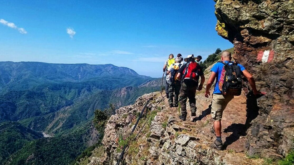
La traccia gpx non è disponibile a causa della difficile percorrenza di alcuni tratti che invitiamo a non percorrere in autonomia se non si è escursionisti esperti.
The Sentiero di ‘San Girolamo’ (St. Jerome’s Path) takes its name from a historical event reported by Canon Giovanni Minasi, who records that in the nineteenth century, the priest Giuseppe Bova built a Church on the hills of Scilla dedicating it to the Holy Doctor, in memory of his brief stop in Scilla before sailing toward the Eastern lands. Chronicles tell us that he stopped in Scilla to ask the local sailors, who provided him with clear and precise information, about the best route to follow to reach the Holy Land.
The path starts from State Road 18 (SS18) to the West of the town, in the Pacì district (contrada Pacì), and is the old road that connected Scilla ‘from below’ with Cannitello. It winds halfway up the hillside to the promontory of San Gregorio, after which it is no longer passable as a hiking trail. It offers splendid panoramic and sheer views over the sea, leading towards the northern entrance to the Strait of Messina. Thus, we mentally retrace St. Jerome’s last journey, ideally following his route towards the East from above.
A little way off the path, one of the lookout towers, part of Scilla’s sighting and defense system, Torre San Gregorio, is located. From it, it is possible to glimpse the other alarm connection points: to the West and the Strait, the Castle of Altafiumara and Torre Cavallo, while to the East, Scilla is visible, and even before that, the point where the remains of the Torre di Pacì are found.
The gpx track is not available due to the difficult passage on some sections, which we advise against attempting independently unless you are an expert hiker.